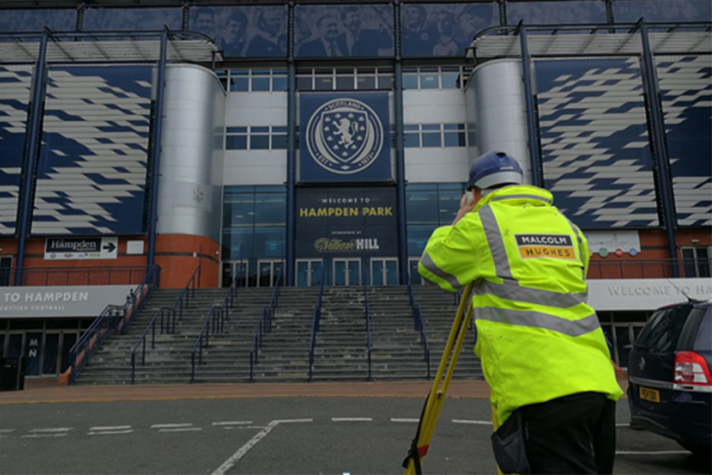
Malcolm Hughes were undertaking topographical and underground utility mapping surveys across a number of small, mostly remote Scottish Water treatment works for the installation of back-up power generators.
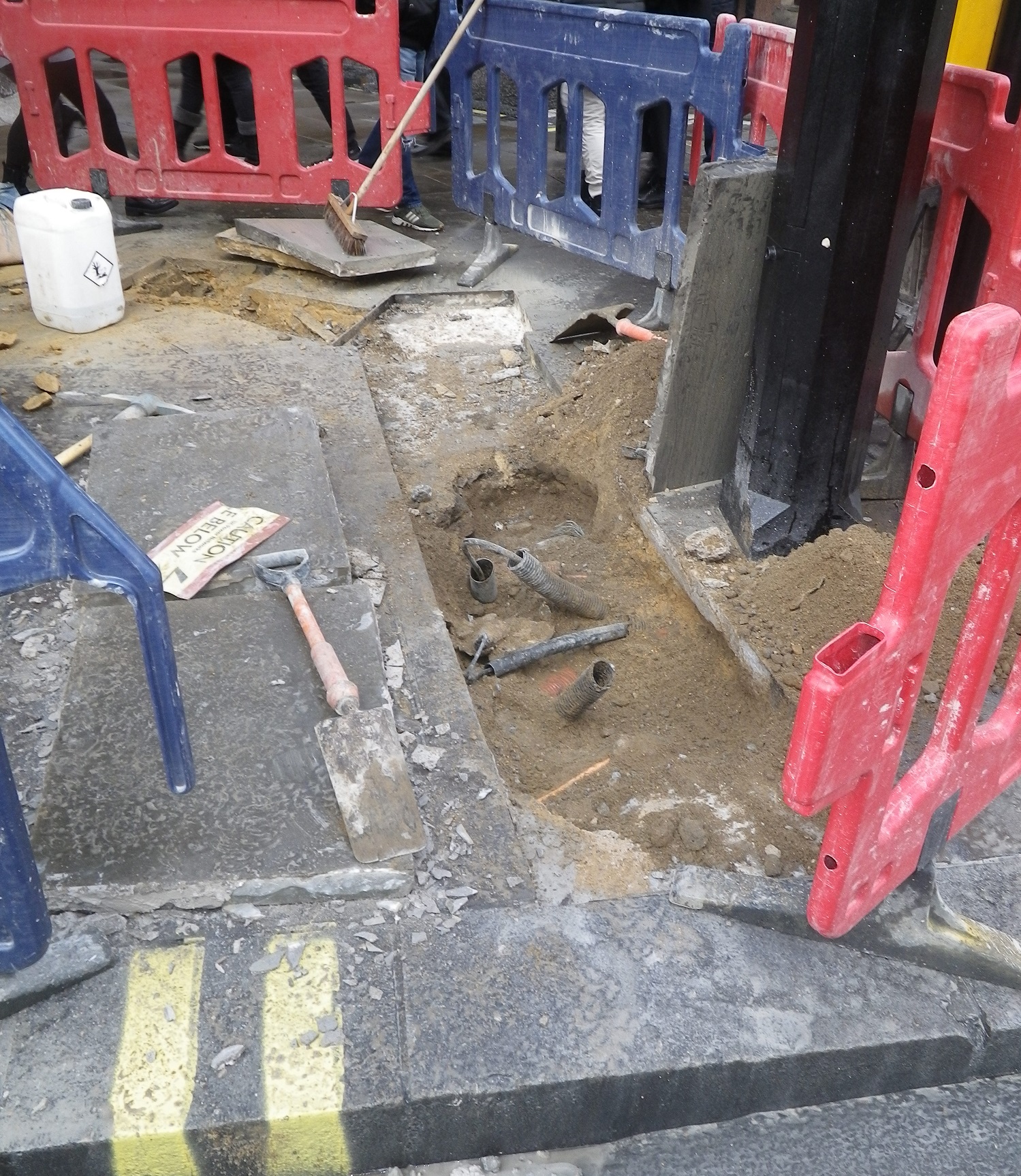
Both surveys were undertaken to client supplied specifications and also in accordance with our standard survey methodology which follow both RICS Guidance notes for measured surveys of land, buildings and utilities; 3rd Edition and BSI:PAS128(2014) specification for underground utility detection, verification and location.
Underground utilities were detected using a combination of Electromagnetic Location and Ground Penetrating Radar. On one survey we managed to detect subtle changes in the ground conditions which indicated the extremities of the dechlorination storage tanks.
Visit our dedicated page on Underground Surveys for more information or contact us if you have a project we can help you with.


