CLYDE WATERFRONT
2021
Malcolm Hughes were recently asked to provide a primary control network for the installation of a new bridge across the River Clyde and in addition tasked with locating a burn culvert under an adjacent industrial site to aid with design and road layout.
Funded via the Glasgow city region ‘city deal’, the Clyde waterfront and Renfrew riverside regeneration project includes the construction of a new road bridge over the River Clyde at Renfrew. The bridge, expected to open in 2024 will provide access for vehicles, pedestrians, cyclists and have an opening for large ships at high tide.
The control network was carefully planned to provide the site engineers with accurate, stable ground control throughout the work area – in the immediate vicinity of the new bridge and extending beyond to connecting infrastructure on both the north and south banks of the Clyde.
Primary control was observed using Static GNSS techniques followed by traditional traversing and levelling between the points within the network on both banks. This methodology allowed for a rigorous check on our observations and provided plenty of redundancy for the engineers to make use of during construction. Traversing across the Clyde provided a unique challenge and a long commute via the nearest bridge (or tunnel) to the next point in our survey. Following office post processing a highly accurate control survey report based on OS National grid coordinates was issued to the client.
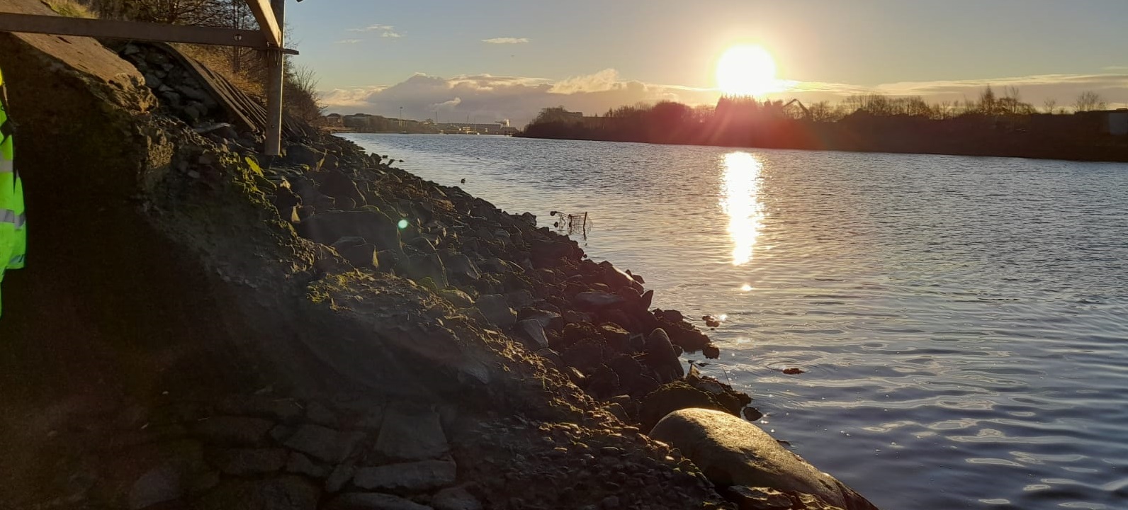
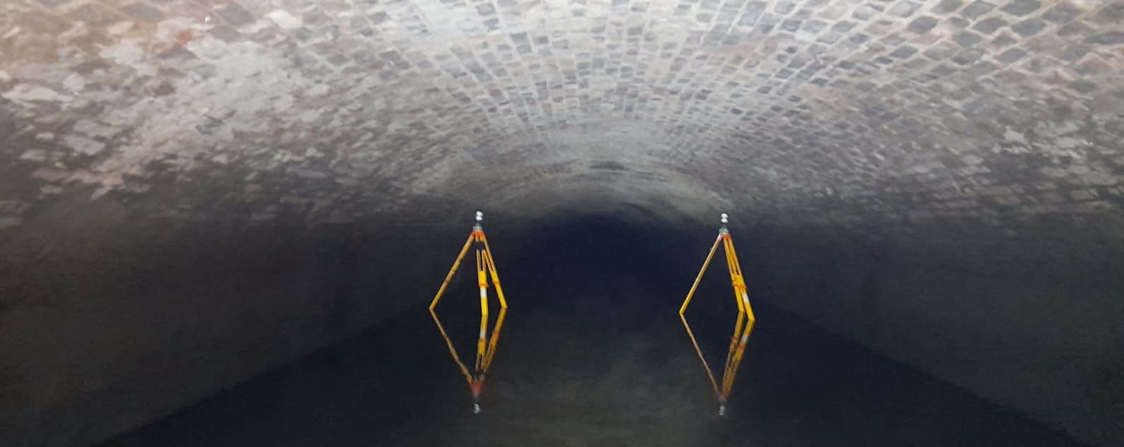
The culvert survey involved surveyors getting their feet wet and surveying along the interior of the tunnel to establish its position below the proposed bridge abutment on the north side of the river. Due to limited access at the mouth of the culvert careful planning was required to take advantage of the low tide window when the water was shallow to allow ingress. The culvert was surveyed via laser scanning to produce a 3D point cloud of the interior. This allows designers to analyse the full size and shape of the culvert and make some comment on its condition due to the accuracy and density of the point cloud. Following registration and processing of our data the position of the culvert was provided in plan and the 3d point cloud issued alongside cross sections at critical junctures along the tunnel.
Being based in Renfrew – MHLS are proud to be able to offer survey support on a local project which will have a profound social and economic benefit for the area on completion of the new bridge.
